
HHEI and QHEI Reports
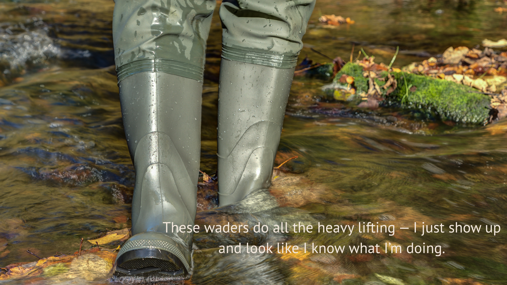
Waders On. Reports Handled
From riffles to riparian zones, capture habitat data in the field and walk away knowing your HHEI & QHEI reports are Ohio EPA-ready.
Fieldwork Is Messy. Reporting Doesn’t Have to Be.
You spend your days knee-deep in streams, squinting at substrates, and jotting notes in the rain. The last thing you need is to lose track of metrics or wrestle with spreadsheets back at the office. Wildnote makes sure your HHEI & QHEI work pays off with clean, compliant reports every time.
Why Wildnote Is the Better Field Partner
No Lost Details – Substrate type, pool depth, bankfull width — it’s all logged on the spot.
Clean Exports – HHEI & QHEI reports formatted to Ohio EPA standards.
Built for Muddy Boots – Offline capture means you keep working even where service doesn’t.
Confidence in Your Scores – Auto-scoring, photo logs, and notes that back up your calls.
How It Works
Gear Up – Set up your HHEI/QHEI project in Wildnote.
Hit the Field – Boots get wet, data doesn’t.
Check Your Work – Let Wildnote handle the scoring and formatting.
Export Without the Headache – One click, and you’ve got an Ohio EPA-ready report.
Rest Easy – Spend less time formatting and more time doing the work you care about.
Who’s Using It
Consultants juggling multiple compliance projects
Biologists evaluating headwater streams
Watershed groups monitoring ecosystem health
Restoration teams tracking baseline conditions